
Before a Location Becomes Popular, It Becomes Connected: The Golden Corridor Story in East Bengaluru
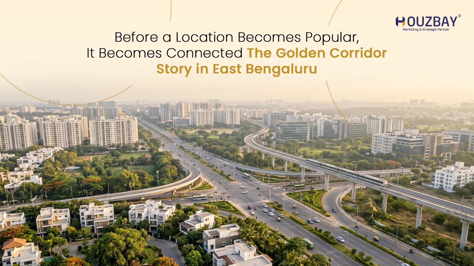
A city’s next important address is not always where the tallest buildings stand. Sometimes, it begins with a road that changes how places connect.
Bengaluru is a perfect example. Over the years, residential neighbourhoods have expanded beyond traditional city limits. Locations once considered distant have become part of everyday conversations about buying homes, accessing workplaces and planning the future. Now, another part of East Bengaluru is drawing attention. The stretch connecting Chikka Tirupati Road, Sarjapur and the wider Hoskote region is gaining relevance as infrastructure projects reshape Bengaluru’s outer road network. At the centre of this conversation is the Golden Corridor, an emerging growth belt associated with Chikka Tirupati Road and the Satellite Town Ring Road (STRR).
The question is no longer simply where Bengaluru is expanding. It is how its surrounding locations are becoming better connected.
What Exactly Is the Golden Corridor in East Bengaluru?
The term Golden Corridor describes an emerging residential and connectivity belt around Chikka Tirupati Road and the developing STRR network. It is a location-marketing description rather than an officially designated highway or government development zone. The idea behind it is straightforward. Chikka Tirupati Road supports movement within the developing residential areas between Sarjapur and Hoskote. STRR, on the other hand, is designed to create stronger links between Bengaluru’s surrounding towns.
These two roads serve different purposes, but their combined influence is what makes this location interesting. Local roads connect neighbourhoods. Regional highways connect economic centres, towns and larger transport networks. When both develop together, surrounding areas may become more accessible and attractive for residential planning. That is the larger story behind the Golden Corridor.
Why Chikka Tirupati Road Deserves More Attention
Mention East Bengaluru, and most people immediately think of Whitefield, Varthur or Sarjapur. These locations have become familiar through years of residential and commercial development. Chikka Tirupati Road is different. It runs through a comparatively emerging part of East Bengaluru, where established settlements, open land parcels and developing residential communities form part of the landscape. Its geographical position creates access towards several important locations.
Sarjapur provides connections towards the city’s southeastern residential and employment zones. Whitefield remains a major commercial destination. Varthur and Gunjur connect growing residential neighbourhoods, while Hoskote serves as an eastern regional gateway. Chikka Tirupati Road sits within this wider network. For someone evaluating the Golden Corridor, the advantage is not necessarily being closest to a single employment hub. It is having access to multiple developing destinations. However, road quality, actual travel routes and everyday conveniences remain important considerations when evaluating specific locations.
STRR: A Road Project With a Larger Purpose
Bengaluru’s growth has created a familiar challenge. Many journeys between surrounding towns still depend on roads carrying traffic towards or through the main city. The Satellite Town Ring Road, commonly known as STRR, is intended to improve this situation. The approximately 288-km network is planned to connect several towns around Bengaluru, including Doddaballapur, Devanahalli, Hoskote, Sarjapur, Attibele and other peripheral locations. Its purpose is to strengthen regional movement while reducing the need for certain vehicles to travel through congested urban routes.
Consider the importance of connecting Hoskote with other towns on Bengaluru’s outskirts. Better regional road infrastructure could support commercial movement, improve access between economic centres and make neighbouring residential locations more practical to reach. This is one reason STRR plays an important role in the Golden Corridor growth story. The road is being developed in phases. While some sections have been completed, others remain unfinished or require additional approvals. Therefore, its present accessibility should not be confused with the benefits expected after the entire network is developed.
For residential areas around Chikka Tirupati Road, the long-term relevance lies in how completed STRR connections may improve access to the wider region.
Sarjapur and Hoskote: Two Locations, Different Strengths
Understanding the Golden Corridor also means understanding the destinations surrounding it. Sarjapur has gained recognition as a residential location with connections towards major employment areas in southeastern Bengaluru. Its development has brought increasing residential activity and supporting commercial establishments. Hoskote has a different identity. Located towards Bengaluru’s eastern side, Hoskote is associated with regional road connectivity, established settlements and developing residential and industrial activity. Hoskote town also serves as a local centre for surrounding communities.
The areas between these destinations occupy an interesting geographical position. They are not completely disconnected from Bengaluru’s established residential landscape, but neither do they offer the same level of urban infrastructure found in more developed neighbourhoods. As road connectivity improves, locations between Sarjapur and Hoskote could attract greater attention from people exploring residential alternatives.
The key consideration is whether improvements in road access are accompanied by dependable civic facilities and services.
Reading the STRR Map: Why Location Matters More Than Distance
Two locations can appear close on a map and still offer very different travel experiences. This is particularly relevant when evaluating emerging neighbourhoods. An STRR map helps explain the planned regional network, its connections and the areas around the highway alignment. But a map alone cannot answer every practical question.
For example, a property may be located a few kilometres from a major highway but still require a longer journey to reach an authorised entry or exit point. Similarly, a road that is under construction cannot be treated as an immediately available commuting option.
For people studying the Golden Corridor, the important factors include actual road access, completed highway connections and the condition of connecting local roads. It is also useful to compare routes towards Sarjapur, Whitefield, Varthur and Hoskote during typical travel hours. A location’s value as a residential destination depends on how conveniently people can use the surrounding infrastructure, not simply how close it appears on a map.
Why Bengaluru’s Housing Conversation Is Moving Towards More Space
For years, apartments have been among Bengaluru’s most widely adopted residential formats. They offer managed communities, shared amenities and housing options across different budgets. However, not every buyer wants the same lifestyle. Some families prefer independent homes. Others value private outdoor areas, flexible designs or the freedom to build according to personal requirements.
This is why villa plots and planned plotted communities remain relevant within Bengaluru’s wider housing market. Emerging areas around Chikka Tirupati Road provide opportunities for these forms of residential development. The Golden Corridor brings this discussion together with the question of connectivity. A residential location can offer space, but that space becomes more practical for everyday living when schools, healthcare facilities, employment areas and essential services are accessible. For a plotted development, buyers should also examine planning approvals, land titles, infrastructure provisions and the conditions governing future construction.
Space is an important consideration. It is not a substitute for good planning.
Can Infrastructure Influence the Future of the Golden Corridor?
Infrastructure is one of the factors that can influence how a residential market develops. Improved roads may make certain locations easier to access. Better regional connections may support business activity and encourage people to explore neighbouring residential areas. Over time, this can contribute to demand for housing, commercial services and community facilities.
However, infrastructure investment does not automatically guarantee higher property prices. The experience of individual locations can vary considerably depending on road completion, employment opportunities, legal clarity, local amenities and market conditions. For the Golden Corridor, the completion of STRR sections and the development of connecting roads will be important factors to monitor.
Other considerations include the expansion of social infrastructure, public transport availability, reliable water supply and the quality of residential planning. A successful neighbourhood requires much more than a highway. It needs the facilities that make everyday living comfortable and practical.
What Should You Look for When Exploring This Part of East Bengaluru?
Before evaluating any emerging location, it helps to understand what is already available and what remains planned. Start by visiting the area rather than relying only on promotional maps or future infrastructure announcements. Observe the condition of approach roads, the presence of nearby settlements and the availability of everyday conveniences.
Check the actual travel routes to important destinations. A short distance does not always translate into a short commute. If you are considering land or a plotted community, verify ownership documents, applicable planning permissions, land-use conditions and relevant regulatory approvals.
It is also useful to understand which infrastructure developments have received approval, which are under construction and which are already operational. These checks are especially important in emerging residential belts such as the Golden Corridor, where expectations about future growth can sometimes move faster than infrastructure development.
The Future of East Bengaluru Is About More Than One Destination
Bengaluru’s expansion is no longer defined only by the growth of individual neighbourhoods. The connections between them are becoming equally important. The Golden Corridor Meets Chikka Tirupati STRR Road provides local access within a developing residential region. STRR aims to strengthen movement between towns beyond Bengaluru’s established urban centres. Sarjapur and Hoskote add different residential, commercial and regional connections to this landscape. Together, these elements explain why the Golden Corridor is entering conversations about East Bengaluru’s future.
The region is still evolving, and its development will depend on infrastructure execution, local planning and sustained residential demand. But its geographical position makes it worth understanding today.
Because sometimes, the most interesting part of a city’s growth story is not where everyone is already looking. It is the road connecting the places they have yet to discover.
FAQs About the Golden Corridor, STRR and East Bengaluru
2. How will STRR Bangalore improve connectivity in East Bengaluru?
STRR Bangalore is designed to improve connectivity between satellite towns such as Hoskote, Sarjapur, Devanahalli and Attibele. The road network aims to reduce dependence on congested city routes and improve regional travel. Its benefits will increase as more sections become operational.
3. Why is Chikka Tirupati Road important to the Golden Corridor?
Chikka Tirupati Road provides local connectivity within the developing Sarjapur–Hoskote residential belt. Its proximity to the wider STRR network makes it relevant to East Bengaluru's infrastructure growth. The location also offers opportunities for planned residential communities and villa plots.
4. Where can I find the STRR Bangalore map?
The STRR Bangalore map can be accessed through official highway planning documents and relevant government infrastructure portals. An STRR map helps identify the planned route, nearby towns and major connections. Buyers should verify the latest alignment and operational sections before evaluating a location.
5. How does STRR connect Sarjapur and Hoskote?
STRR is planned to connect Sarjapur and Hoskote as part of a larger regional highway network around Bengaluru. The development aims to improve movement between these destinations and neighbouring towns. Actual travel benefits depend on completed road sections and available entry and exit points.